Welcome to DS Mapping Solutions
Your Premier Reality Capture and Mapping Partner
At DS Mapping Solutions, we bring cutting-edge reality capture and mapping services to a diverse range
of industries. Our journey began in the forensics and litigation sector, where we honed our expertise in LiDAR scanning and mapping technology. Today, we proudly serve the construction, engineering,
architectural, utilities, insurance, and litigation industries, providing efficient and cost-effective solutions for a multitude of projects.


About Us:
Our Passion for Precision Mapping and Reality Capture
Founded by experienced professionals with a background in forensics and the service industry, DS Mapping Solutions is driven by a relentless pursuit of accuracy and attention to detail. We understand the importance of reliable data and its impact on project success. With our commitment to excellence and state-of-the-art technology, we deliver results that exceed expectations.


Services:
Transforming the Way You Visualize and Analyze Sites
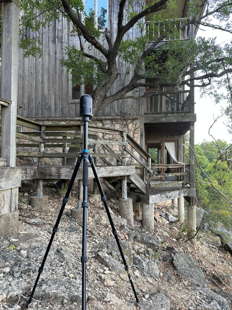
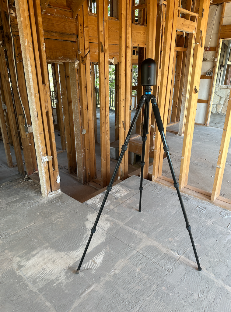
Our reality capture and mapping services offer numerous benefits to general contractors, architects, and surveyors. Experience the freedom of virtually visiting a site from your desk, saving time and resources. Our high precision instruments ensure data accuracy, leaving no detail overlooked. Freeze existing conditions of job sites and scenes, reducing revisits and potential errors. Embrace the future of mapping with DS Mapping Solutions.

Experience the Quality & Innovation of DS Mapping Solutions
Success Stories:
Streamlining Projects with Virtual Site Visits


Industries We Serve:
Tailored Solutions for Your Industry Needs

Specialized Methods:
Taking Mapping to New Heights
DS Mapping Solutions takes pride in its ability to handle projects at unparalleled speeds, capturing all essential data for your project in high detail. When safety is a concern, our remote sensing capabilities provide data collection from a safe distance, minimizing risks and maximizing efficiency.
- High-Definition Laser Scanning
- sUAS Photogrammetric Mapping
- Reverse projection photogrammetry
- Photogrammetric resection
- LiDAR
- UAV Thermal Inspection
- Drone/UAV Inspection


Services and Products To Multiple Industries including Architectural, Engineering and Construction
- As-built plans for residential, commercial, industrial, and oil/gas sites
- High Resolution UAV/Drone Maps & Orthomosaic imagery
- Thermal Inspection & Analysis
- Forensic Scene Documentation
- Utility Mapping
- Point Clouds

Certifications and Ongoing Learning:
Staying Ahead for Your Benefit
Our team maintains an FAA Part 107 license and holds a level 1 thermography certificate from the Infrared Training Center. We continuously invest in our professional development, attending conferences and trainings to stay at the forefront of industry trends, processes, and technological advancements.
Discover the Future of Reality Capture and Mapping with DS Mapping Solutions, LLC. Contact us today to embark on a journey of unparalleled precision and efficiency for your projects.

